flock-off
PYTHON · OPENSTREETMAP · ROUTING
NOTES
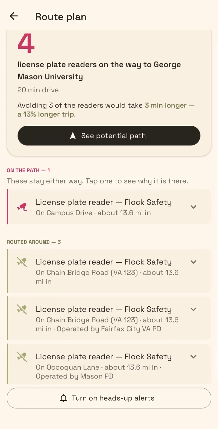
Automatic licence plate readers are everywhere now and almost nobody knows where they are or who operates them. This maps the surveillance grid from public OpenStreetMap data, routes you around it, and then hands the finished trip off to Google Maps so you can actually drive it.
It also names who runs each camera, because "there is a camera here" is much less useful than "there is a camera here and this is the company collecting it".